Illustrated Map
⭐ Featured Project
A World Map for Curious Children
Educational illustration project
Illustrated Map
Educational illustration project

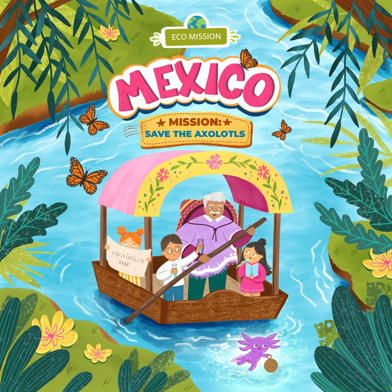
A world map illustration created to help children explore the diversity of our planet through geography, culture, animals, and everyday life. Designed as more than a traditional map, the artwork transforms the world into a visual journey filled with stories, landmarks, natural environments, and details that invite young explorers to discover different places and cultures.

Maps have always been a powerful way to spark curiosity and imagination. With this project, I wanted to create a map that feels less like a collection of information and more like an invitation to explore. Every region becomes a starting point for discovery — introducing children to landscapes, traditions, wildlife, and the unique character of different parts of the world. The illustration reflects my interest in creating visual tools that encourage observation, questions, and a deeper connection with the world around us.
World map illustration. Full artwork and selected details.


Commissioned educational illustration project, created for ARTTONA as a large-scale wall map on felt panels. Part of my ongoing exploration of ways to help children discover the natural world, cultures, and communities through visual storytelling.
Explore More